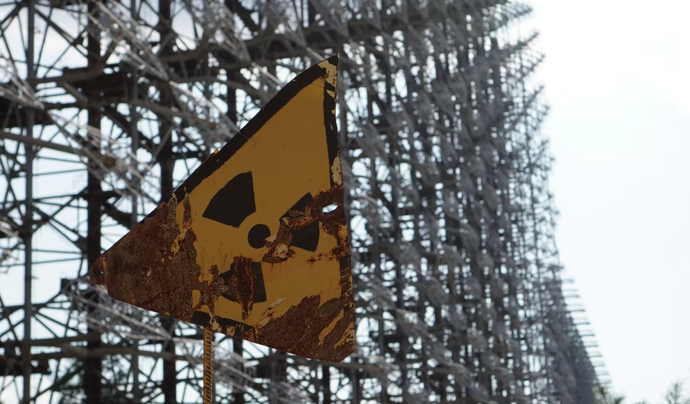
New measurement data shows the detailed radioactive contamination in the exclusion zone of Chernobyl. Given the ongoing conflict in Ukraine, these data are of particular importance. On the occasion of the 36th anniversary of the explosion at the Chernobyl nuclear power plant on April 26, 1986, the Federal Office for Radiation Protection (BfS) conducted a joint project with Ukrainian radiation protection authorities to remeasure the radioactivity in the region. This is the first radiological mapping of the area in about 30 years. The radioactivity measurements of the approximately 2,600 square kilometer exclusion zone were carried out by helicopters. Based on the measurement data, the BfS created two overview maps. One map shows the contamination of the soil with cesium-137, and the second map shows the so-called gamma local dose rate.
The local dose rate indicates how much radiation affects humans. According to the scientists, the local dose rate values in Chernobyl are almost exclusively due to cesium-137. The half-life of this radioactive isotope is 30 years. The other radioactive substances, such as iodine-131, are no longer detectable in Chernobyl due to their significantly shorter half-lives. The measurement data and maps provide a precise overview of the radiation exposure in the exclusion zone of Chernobyl. According to them, the radioactive contamination is distributed unevenly. It is particularly strong in the west and north of the reactor because, after the accident, the wind primarily blew in these directions.
The new measurement data is relevant because it shows how long people can work in the exclusion zone without health risks. This is important, for example, for the fire department, which regularly extinguishes forest fires around the former nuclear power plant. In addition, given the ongoing conflict in Ukraine, the measurement data is of particular importance. According to automatic measurement data, the radiation increased significantly in some areas after Russian troops took over the exclusion zone. This was because the shell impacts and the many military vehicles had stirred up the soil.
In conclusion, the new measurement data provides a detailed overview of the radioactive contamination in the exclusion zone of Chernobyl. It is of particular importance given the ongoing conflict in Ukraine and the need for workers to operate in the area without health risks. The data also highlight the importance of continued monitoring and research in the area to ensure the safety of workers and the environment.