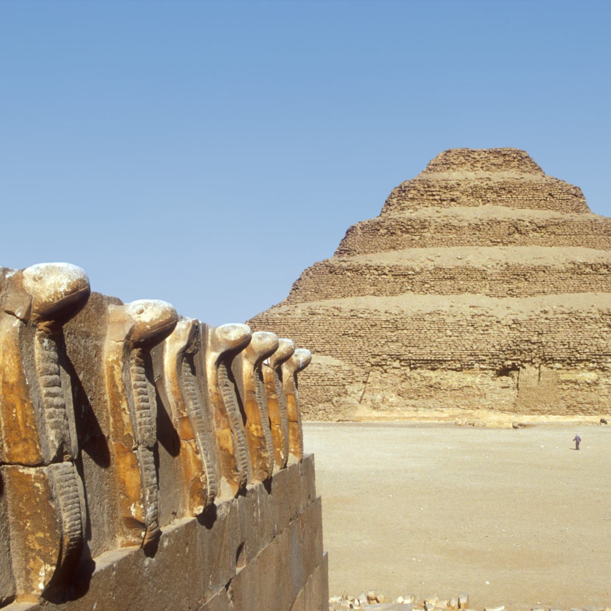
Archaeologist Angela Micol, who studied archaeology at the University of North Carolina, may have made an archaeological breakthrough thanks to Google Earth satellite images. For almost a decade, Micol has been studying aerial photographs and satellite images in search of archaeological sites. Recently, she discovered two suspicious elevations in the southern Egyptian desert. On the images, a previously unknown pyramid complex and several burial mounds can be clearly seen. The arrangement of the supposed structures is similar to that of the pyramids in Giza, according to Micol. The largest pyramid measures almost 200 meters on each side, making it only 30 meters smaller than the Cheops pyramid. Some archaeologists believe that the pyramids, if they are indeed pyramids, date back to the 13th dynasty (approximately 1785 to 1680 BC). Micol is currently collecting research funds and other grants to finance an on-site investigation.
Scott Madry, a professor of anthropology at the University of North Carolina, has also used Google Earth to make archaeological discoveries. He spent years searching for ancient roads, settlements, and graves from pre-Roman times in Burgundy, France. With the help of Google Earth, he discovered over 100 archaeological sites in just a few months. In the past, huge areas were flown over by plane, but satellite technology has been a great help to archaeology, according to Madry.
Further investigations on-site will determine whether Micol has indeed discovered previously unknown pyramids or just formations of sand in the desert. Until then, she is keeping the exact coordinates of the pyramids to herself. If Micol’s discovery is confirmed, it would be a sensational archaeological find.